Spring updates
Community Hub
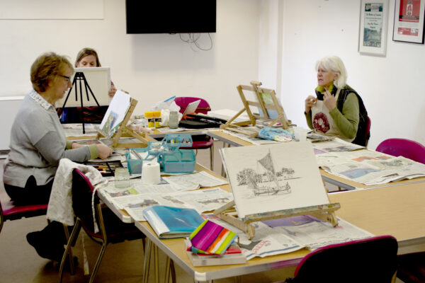
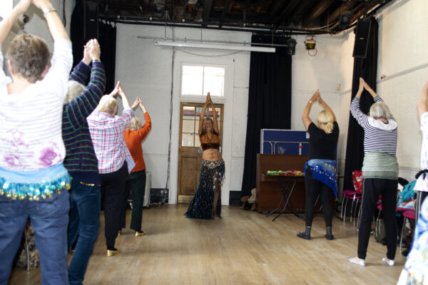
After a short Easter break our activity classes have sprung back into action in our vibrant community centre. With a footfall of over 180,000 each year there is always someone to talk to or something new to learn. Age Exchange has hosted hundreds of hours of activity classes from seated Pilates and belly dancing for our older customers through to rhyme time for the little ones. Classes develop through the ideas of volunteers and local people, enabling the hub to be driven by the community. See what is happening this week.


Enjoy a selection of sandwiches, toasties and light lunches including freshly prepared soups in our kitchen. We have a new spring menu, daily specials, discounts and a kid’s menu. With gluten and dairy free, vegan, vegetarian options. Our community cafe is as much a home to mums and toddlers enjoying cakes and games as it is for families touched by dementia.
As the weather warms up, we invite you sit outside in our garden. Whether you’re catching up with friends or simply soaking up the sunshine with a good book, our garden is ready for you.
Please show your Friends card to receive a 10% discount.
Space Hire
Our historic Bakehouse Theatre and the Studio next to our library can be booked online. These spaces are suitable for meetings, training, live performances, rehearsals, talks and our varied community classes. We also have a small meeting room inside the Bakehouse (used for our monthly book sales). We have AV equipment including theatre lights in the theatre and access to our kitchen for catering. Find out more about the individual spaces or visit us to discuss your needs.
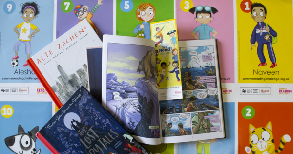
Library
Our small community library is part of the Lewisham libraries. We have a varied catalogue of adult, young adult and children’s fiction, non-fiction and more. Our volunteers will be glad to welcome you and your family.
Spring events for your diary
Lunchtime Concert
Students from Trinity Laban resume their concerts on Friday 26 April in the Bakehouse. This month will feature Denise Tan, a Singaporean cellist, currently pursuing a Masters of Music in Performance at Trinity Laban.
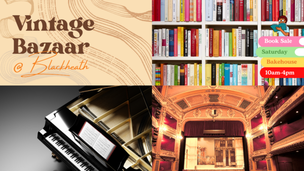
Book Sale
Please come along to the Bakehouse on Saturday 4 May to browse and take home a pile of bargains. We have lots of new stock including folio books, books on film, cooking, craft, classical CDs, piano sheet music and much more.
Theatre Group
Tickets are still available for trips to the acclaimed productions of Nye and The Hills of California. Book now to avoid disappointment.
All these events directly help support our Creative Dementia programme. Look out for a series of events based around Dementia Action Week from 13 to 19 May.
Creative Dementia
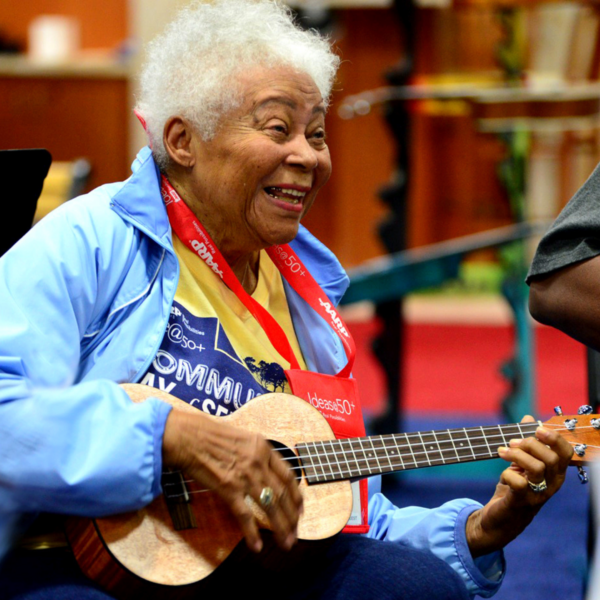
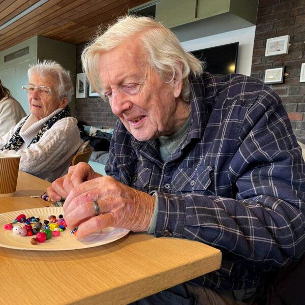
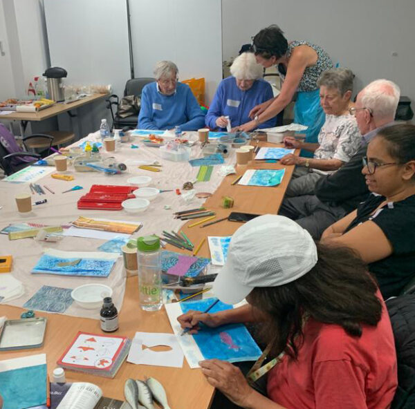
Age Exchange is an arts charity providing creative group activities in the week and support for those living with dementia and their carers. This year Age Exchange celebrates 40 years working in reminiscence and dementia support using the arts. Our unique approach to dementia intervention has an incredible impact of quality of life, helping people to rediscover their voice, their ability to dance or simply to have fun again.
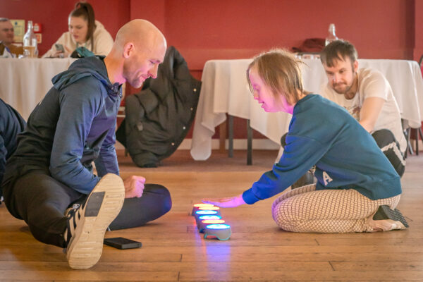
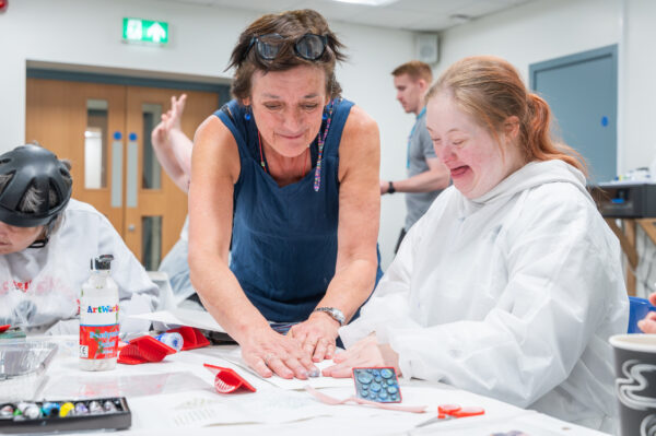
Our Creative Dementia programme offers a wide range of activities including reminiscence, arts and crafts, music and movement. Our groundbreaking dementia intervention practice RADIQL™ uses Reminiscence Arts to deliver dementia services in a wide variety of settings. Our expertise includes outreach to community arts projects, care home person-centred care and arts based groups for the carers of those with dementia. We have projects in Blackheath, across Lambeth and national projects with our partner Community Integrated Care.
Discover some of our projects with our partners
Good Company
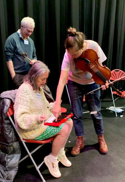
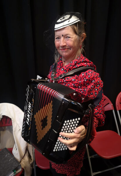
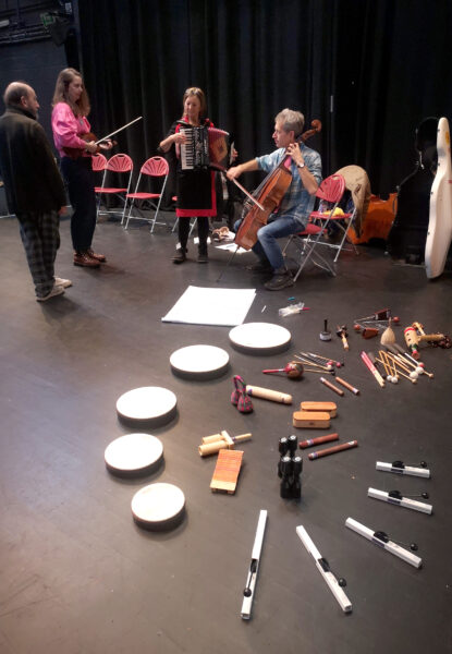
Good Company is a 2-year creative support programme for people living with dementia and other age-related illnesses and/or disabilities and their family carers, living in the Borough of Brentwood and the South Essex locality.
Good Company seeks to reimagine Day Care for people living with dementia and their carers. It is a unique collaboration between Age Exchange, Orchestras Live, Sinfonia Viva, Green Candle Dance, Brentwood Borough Council, Alzheimer’s UK (Essex) and Brentwood Theatre. Local people referred to the service come to the company to make music, dance, and share reminiscence, all explored through sharing and experiencing their life stories and personal journeys. Good Company is a vibrant, emotive, cathartic model of creative care. It is about empowering participants in the present. Our themes are explored through handling artefacts and sensory stimuli, through reminiscence and improvisation resulting in new music and dance works as well as reminiscence theatre.
World Taekwondo Grand Prix
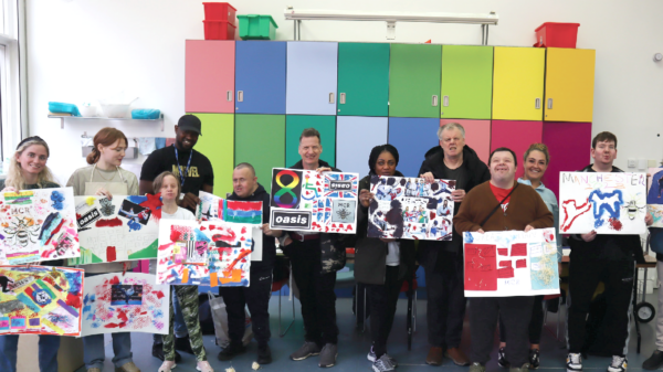
2023 Manchester World Taekwondo Grand Prix Final and Community Integrated Care came together to change the lives of 50 local people who access care and support. With the backing of ParalympicsGB and UK Sport, this prestigious event and collaboration pioneered the standard for greater accessibility and inclusion.
During an arts workshop at the Manchester Arts Gallery led by Age Exchange artists, people supported by Community Integrated Care produced incredible art celebrating the sport of Taekwondo and the city of Manchester. These artworks were gifted to event attendees and competing athletes, with special montages delivered to the podium athletes, who received this gift alongside their medals.
Para Swimming World Championships
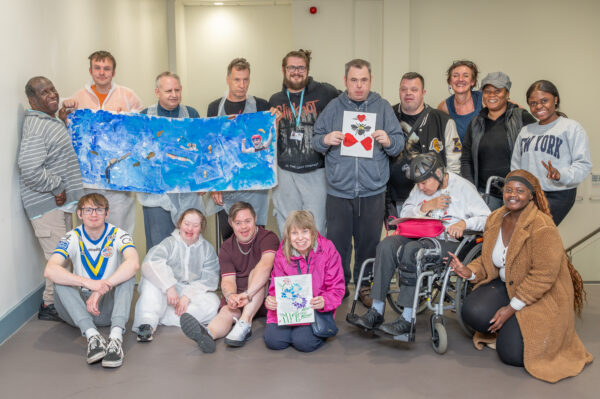
2023 Manchester Allianz Para Swimming World Championships teamed up with Community Integrated Care and Sport England to deliver a life changing Inclusive Volunteering programme. This partnership saw more than 30 people we support across Greater Manchester enjoy unique personal development opportunities inspired by the event.
Participants contributed to the event in many exciting ways – from workshopping a tournament poem with professional writers to developing creative talents by designing gifts for visiting athletes with Age Exchange artists.
Wild Isles project
Age Exchange proudly partnered with the RSPB, WWF, and National Trust to create an accessible activity pack to be used by the wider social care sector. The pack is part of a series of free resources produced in partnership with our partner charity, Community Integrated Care.
The unique arts, games, and reminiscence activity pack has been designed to enable people to enjoy many special moments, inspired by nature. Inspired by Sir David Attenborough’s incredible ‘Wild Isles’ series, this resource offers a range of innovative and person-centred activity ideas using arts, music, crafting and reminiscence. These activities have been co-produced and developed with people supported by Community Integrated Care.
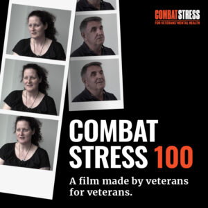
Combat Stress
In May 2019 Age Exchange joined with the military mental health charity Combat Stress to create a nationwide programme to mark its centenary. All those who have taken part have done so because they want the public to understand how military service related PTSD impacts on those who serve on the front line and on those closest to them.
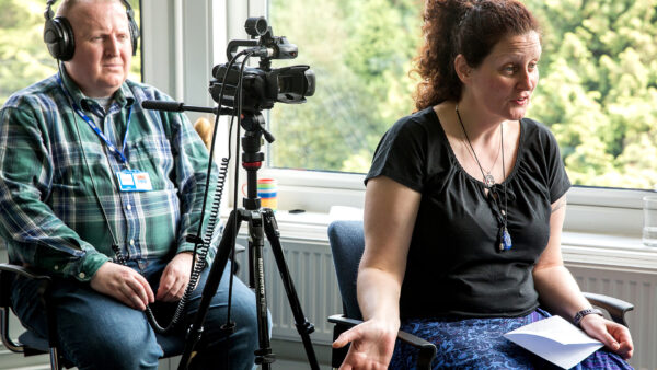
Combat Stress 100 has been a veterans led project in every sense. It began with Age Exchange training eight veteran volunteers to the project (back in May/June 2019), in oral history interview technique, using film cameras and sound equipment, as well as digitising archive materials. This brilliant team then worked with us in partner venues across the UK carrying out 73 interviews with veterans, family members and Combat Stress Staff.
Over 50 hours of interviews have been edited into a one-hour documentary. There was an overwhelmingly positive response to the film by the veteran’s community who feel it reflects their experience of service and of PTSD faithfully.
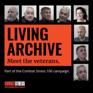
This programme also created two series of podcasts combing material from interviews carried out by Age Exchange with veteran volunteers it trained in interview technique and film making with interviews with clinicians, therapists and veterans’ family members.
Despite its 100 year history Combat Stress before its centenary programme, did not contain the recorded voices of veterans it has treated. Combat Stress 100 has changed that. Our filmed interviews with veterans treated for PTSD and other mental health conditions will form the foundations of a living archive that will grow beyond this project supported by trained veteran volunteers.